
Crediti
Crediti di foto e mappe
I fotografi e i dati cartografici dietro le immagini e le mappe di questo sito, con le relative licenze. Grazie.
Fotografie
Fotografie condivise con licenze aperte
Queste fotografie sono condivise dai loro autori con licenze Creative Commons che richiedono l'attribuzione. Ogni scheda indica l'autore e rimanda alla licenza e all'originale.
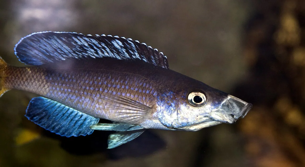
A blue cichlid, one of the many fish species found only in Lake TanganyikaMario Rubio García, CC BY 2.0, tramite Wikimedia Commons
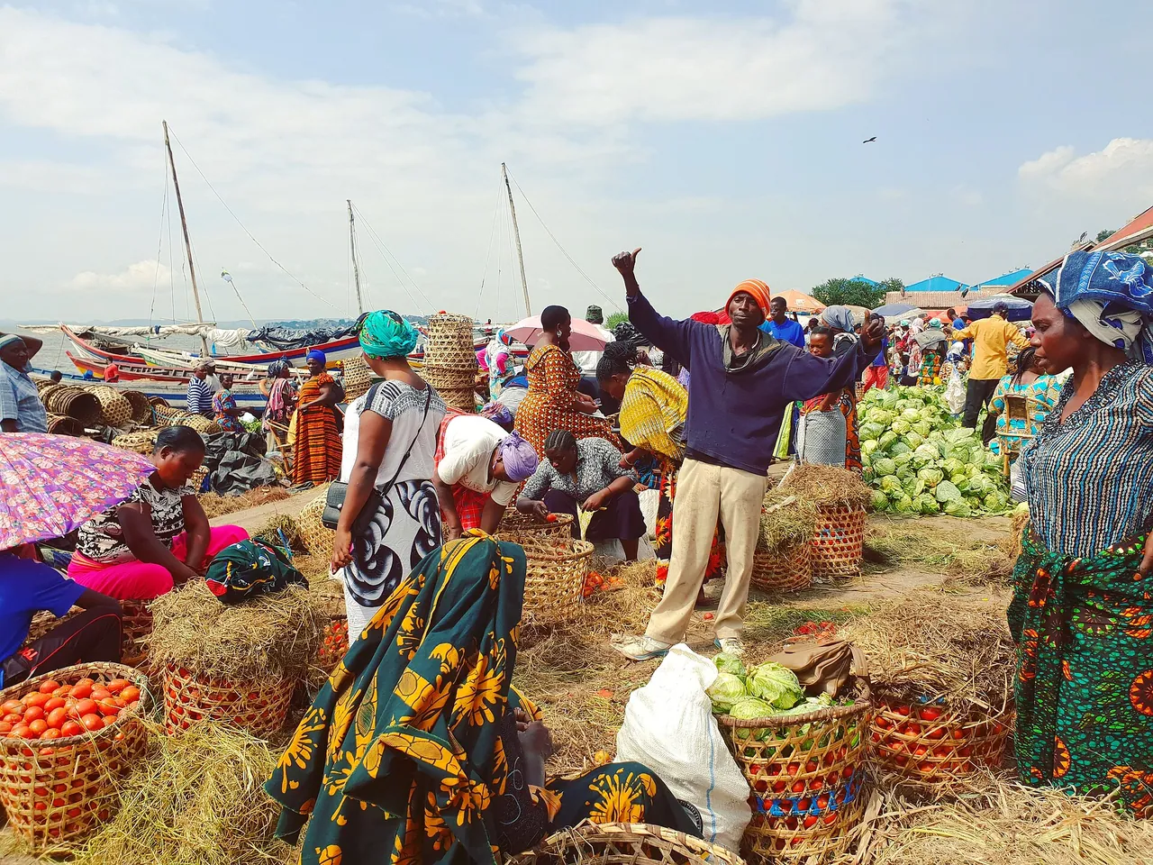
A busy lakeside market at Mwanza on Lake VictoriaMoi333coco, CC BY-SA 4.0, tramite Wikimedia Commons
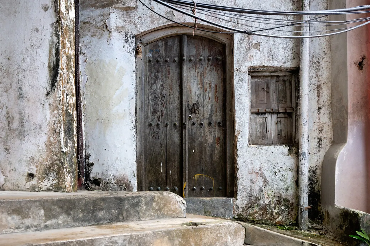
A carved wooden door in a weathered Stone Town buildingEric Kilby, CC BY-SA 2.0, tramite Wikimedia Commons
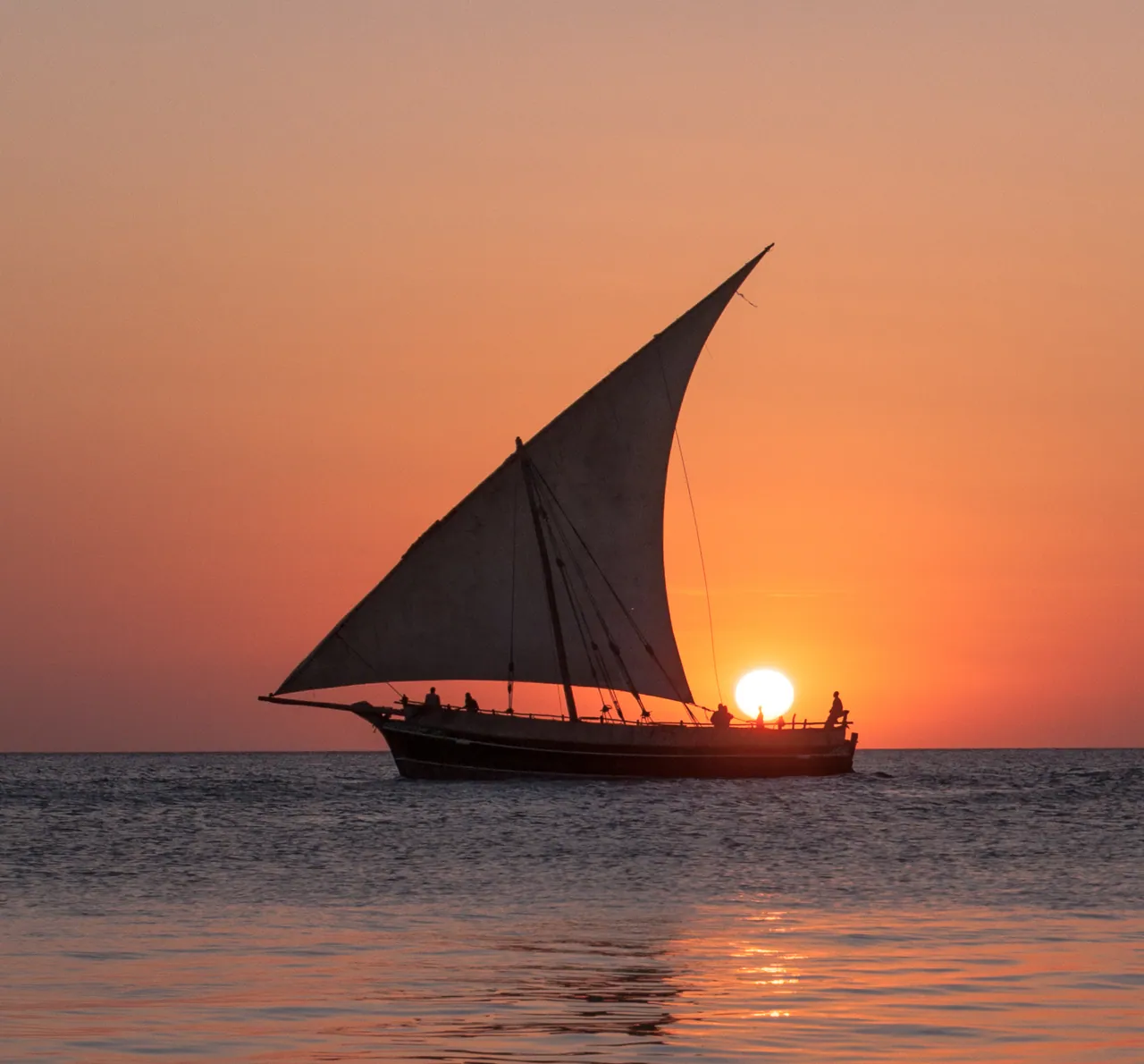
A dhow sailing against the setting sunDrouyn Cambridge, CC BY 2.0, tramite Wikimedia Commons
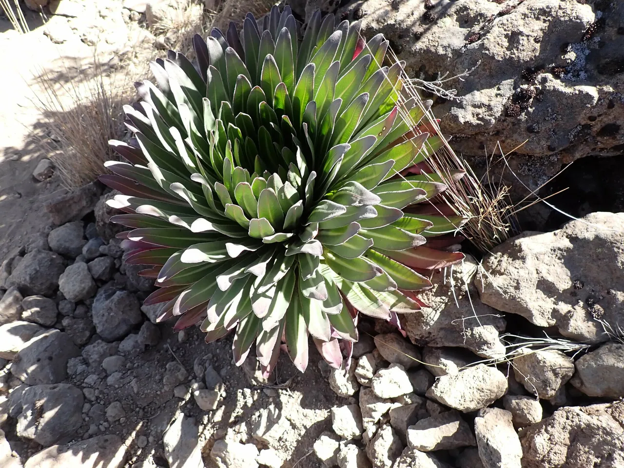
A giant lobelia rosette growing among stones on Kilimanjaro's moorlandJohn Brew, CC BY 4.0, tramite Wikimedia Commons
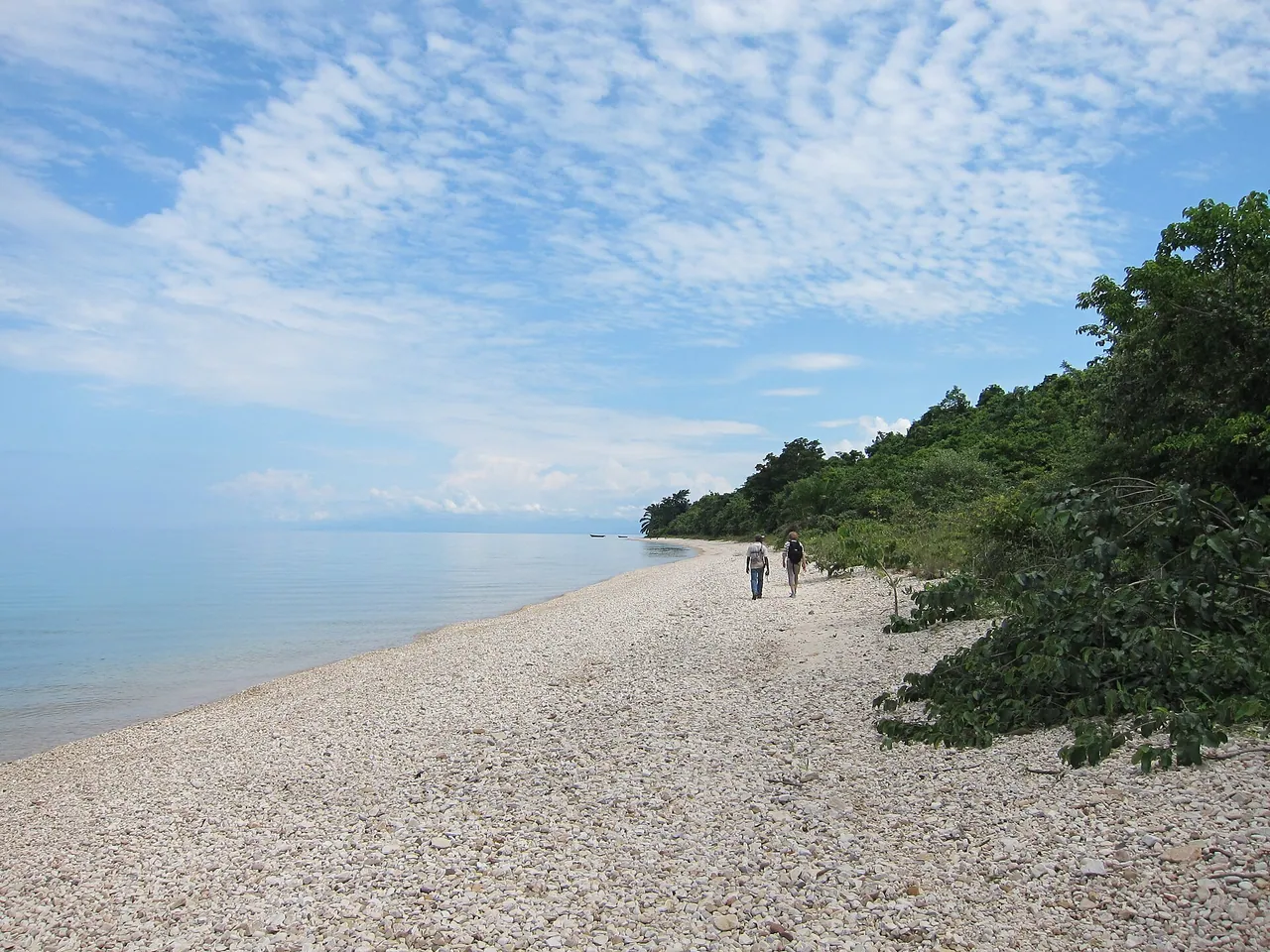
A long pale pebble beach beside Lake Tanganyika at Gombe Stream National Parkfabulousfabs, CC BY 2.0, tramite Wikimedia Commons
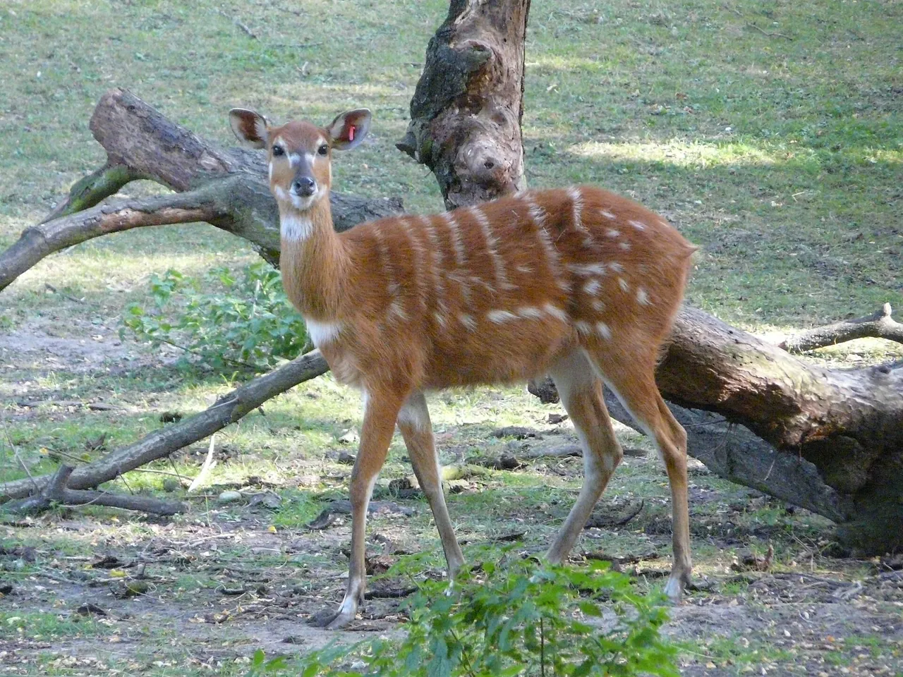
A spotted sitatunga antelope standing beside a fallen branchPatinowik, CC BY-SA 4.0, tramite Wikimedia Commons
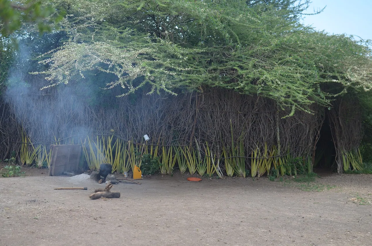
A thatched Datoga kitchen hut with smoke drifting from the doorwayIdd ninga, CC BY-SA 4.0, tramite Wikimedia Commons
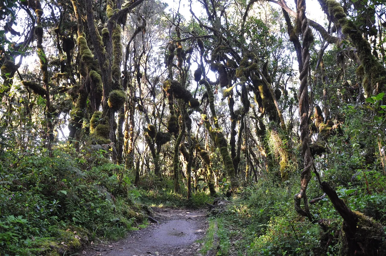
A trail winding through moss-hung montane forestJorge Láscar from Australia, CC BY 2.0, tramite Wikimedia Commons
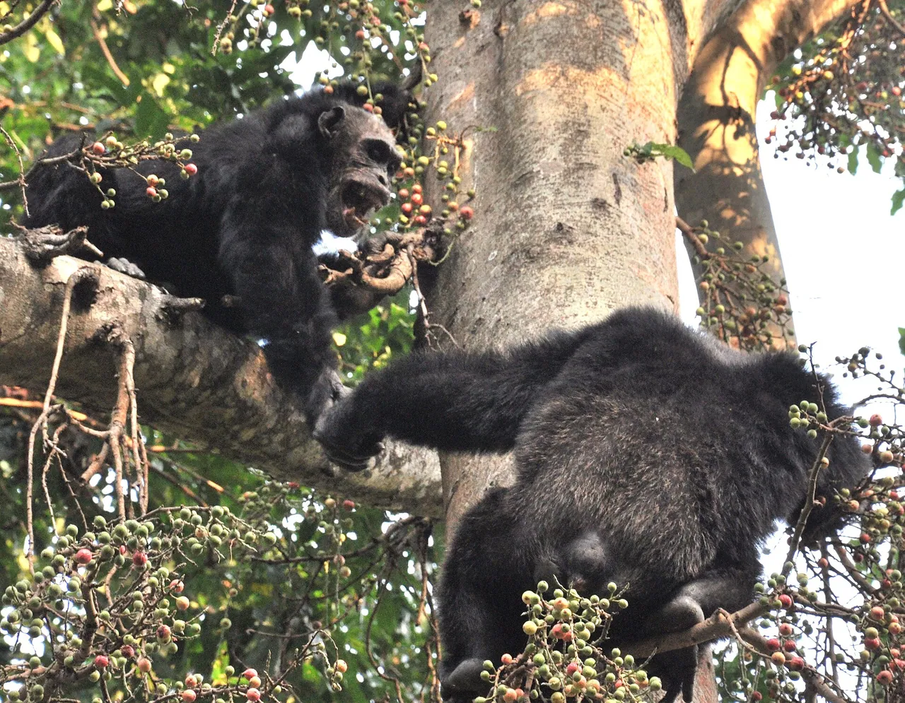
Adult male chimpanzees resting in the Mahale forestCaelio, CC BY-SA 3.0, tramite Wikimedia Commons
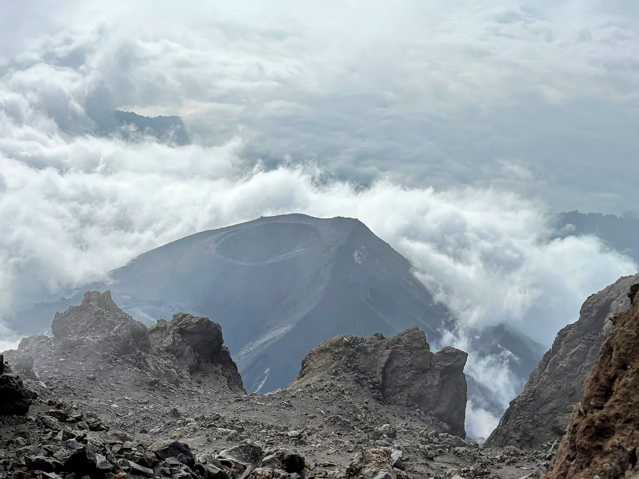
Cloud swirling inside the caldera of Mount MeruAmyAbroad, CC BY-SA 4.0, tramite Wikimedia Commons
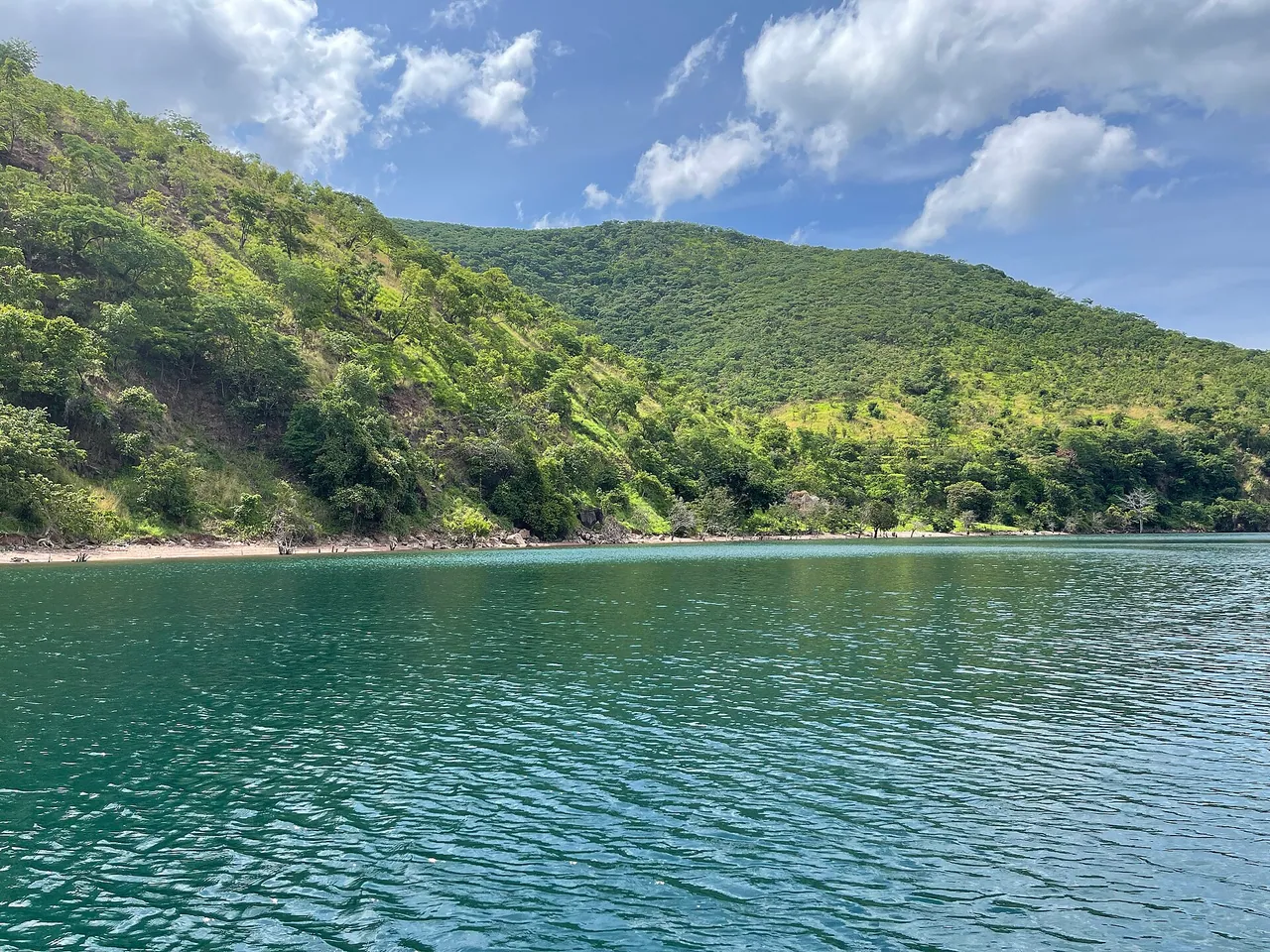
Forested green hills falling to the turquoise water of Lake TanganyikaHalidtz, CC BY-SA 4.0, tramite Wikimedia Commons
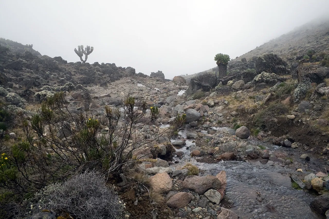
Giant groundsel growing beside a stream on KilimanjaroStig Nygaard from Copenhagen, Denmark, CC BY 2.0, tramite Wikimedia Commons
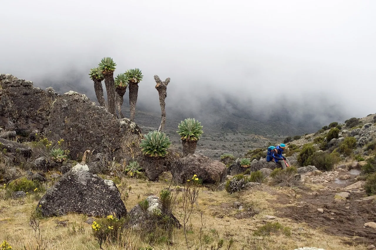
Giant groundsels rising out of mist on Kilimanjaro's moorlandStig Nygaard from Copenhagen, Denmark, CC BY 2.5, tramite Wikimedia Commons
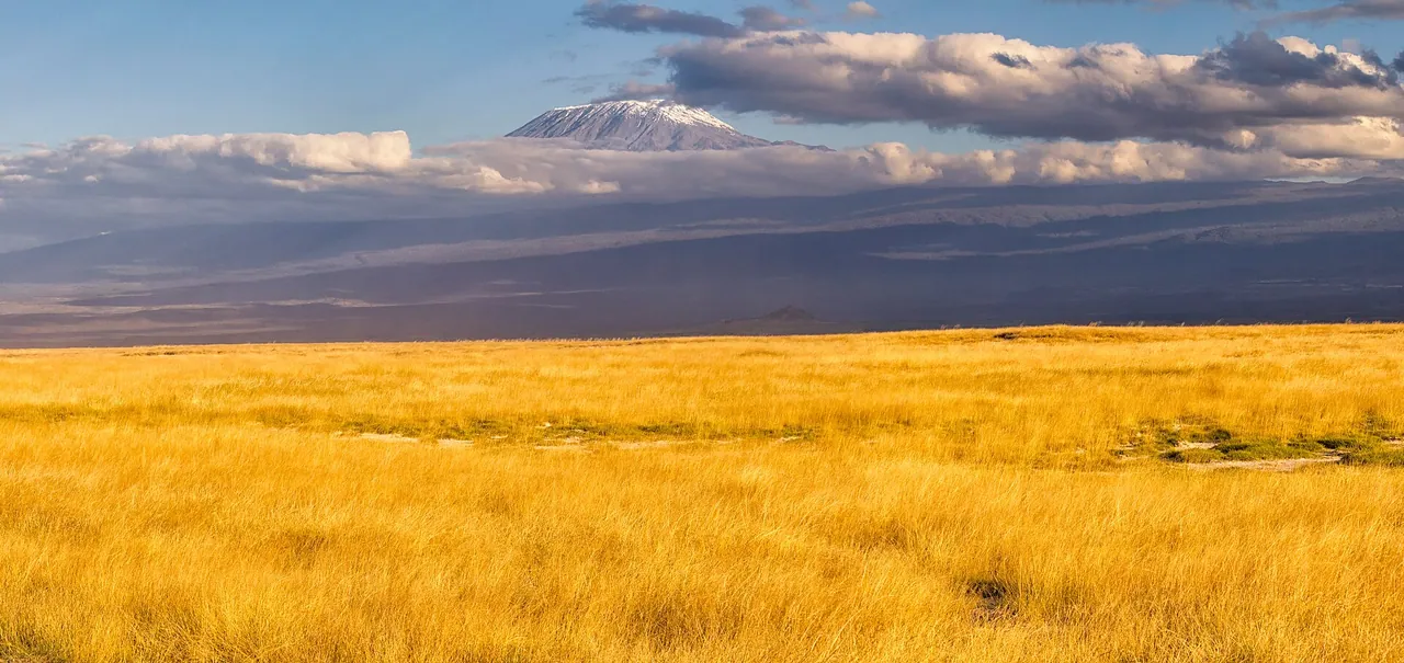
Golden highland grass with Kibo's summit in the distanceRay in Manila, CC BY 2.0, tramite Wikimedia Commons
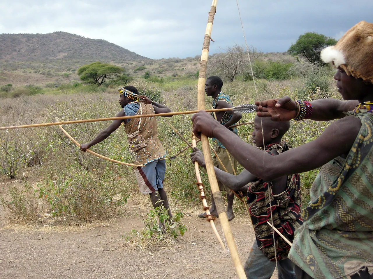
Hadzabe hunters carrying bows through dry bush near Lake EyasiWoodlouse, CC BY-SA 2.0, tramite Wikimedia Commons
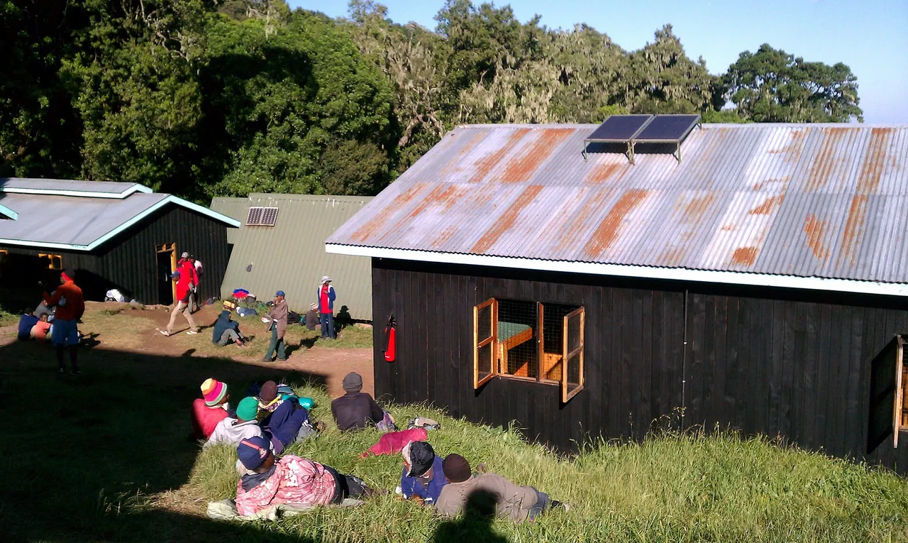
Mandara Hut among the trees in its forest clearingUziuzi, CC BY-SA 4.0, tramite Wikimedia Commons
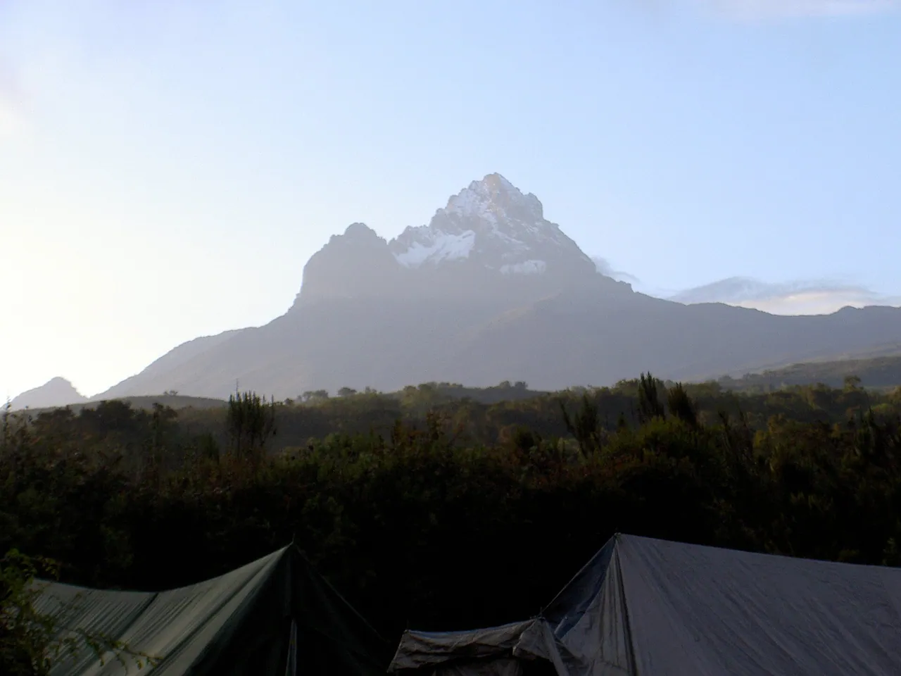
Mawenzi's jagged peak above the moorland and a campAutore sconosciuto, CC BY-SA 3.0, tramite Wikimedia Commons
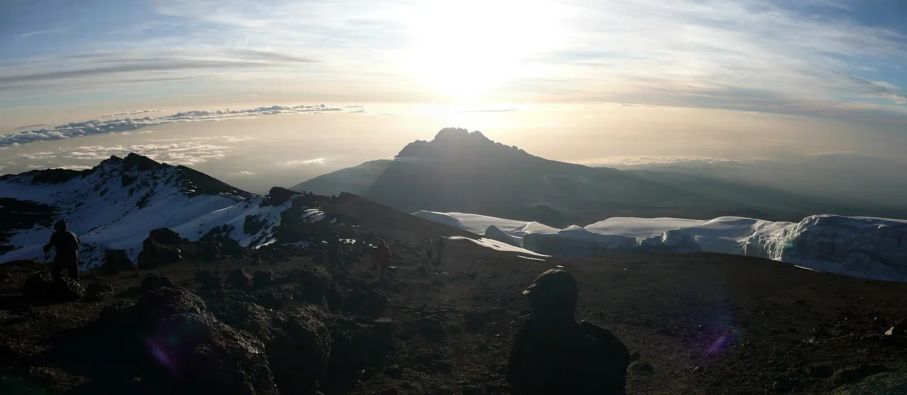
Mawenzi's rugged ridge catching the morning sun above cloudSbork, CC BY-SA 3.0, tramite Wikimedia Commons
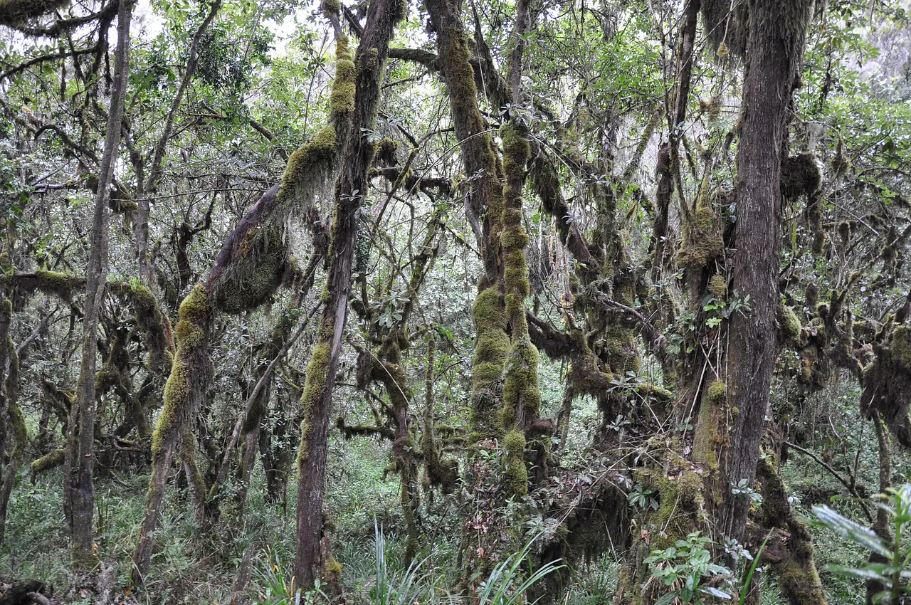
Moss-draped montane forest with a trail winding through itJorge Láscar from Australia, CC BY 2.0, tramite Wikimedia Commons
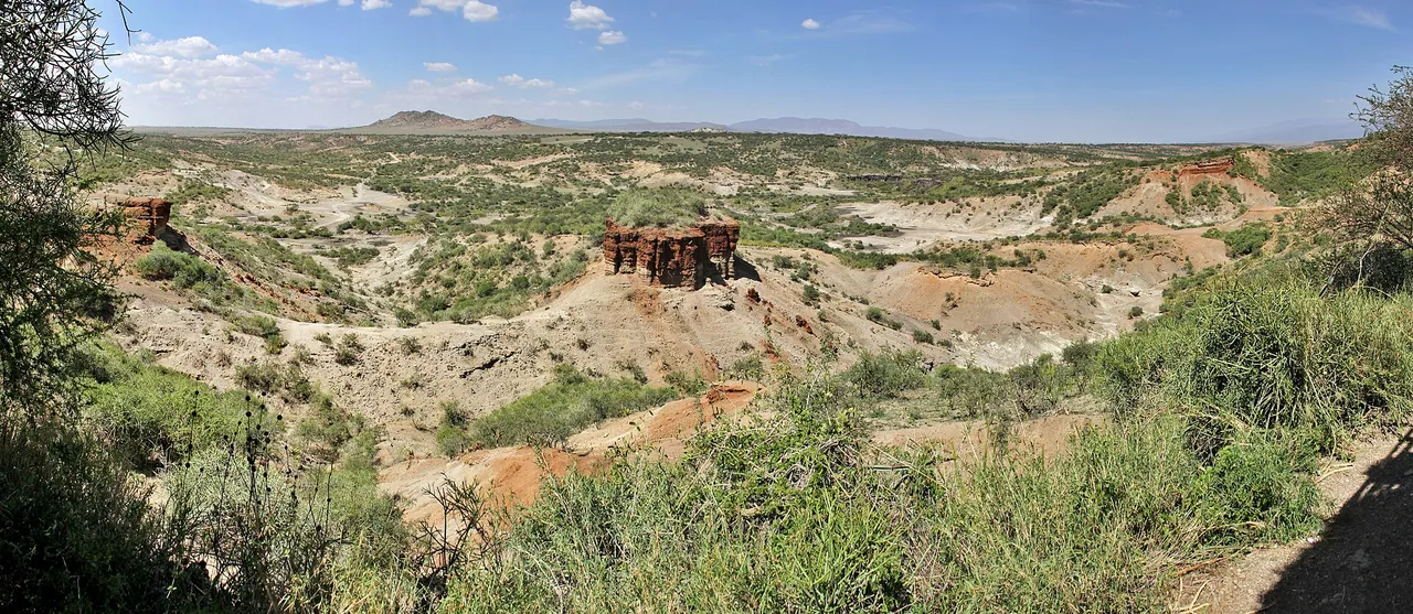
Olduvai Gorge, where its layered banks drop into the dry plainMike Krüger, CC BY-SA 4.0, tramite Wikimedia Commons
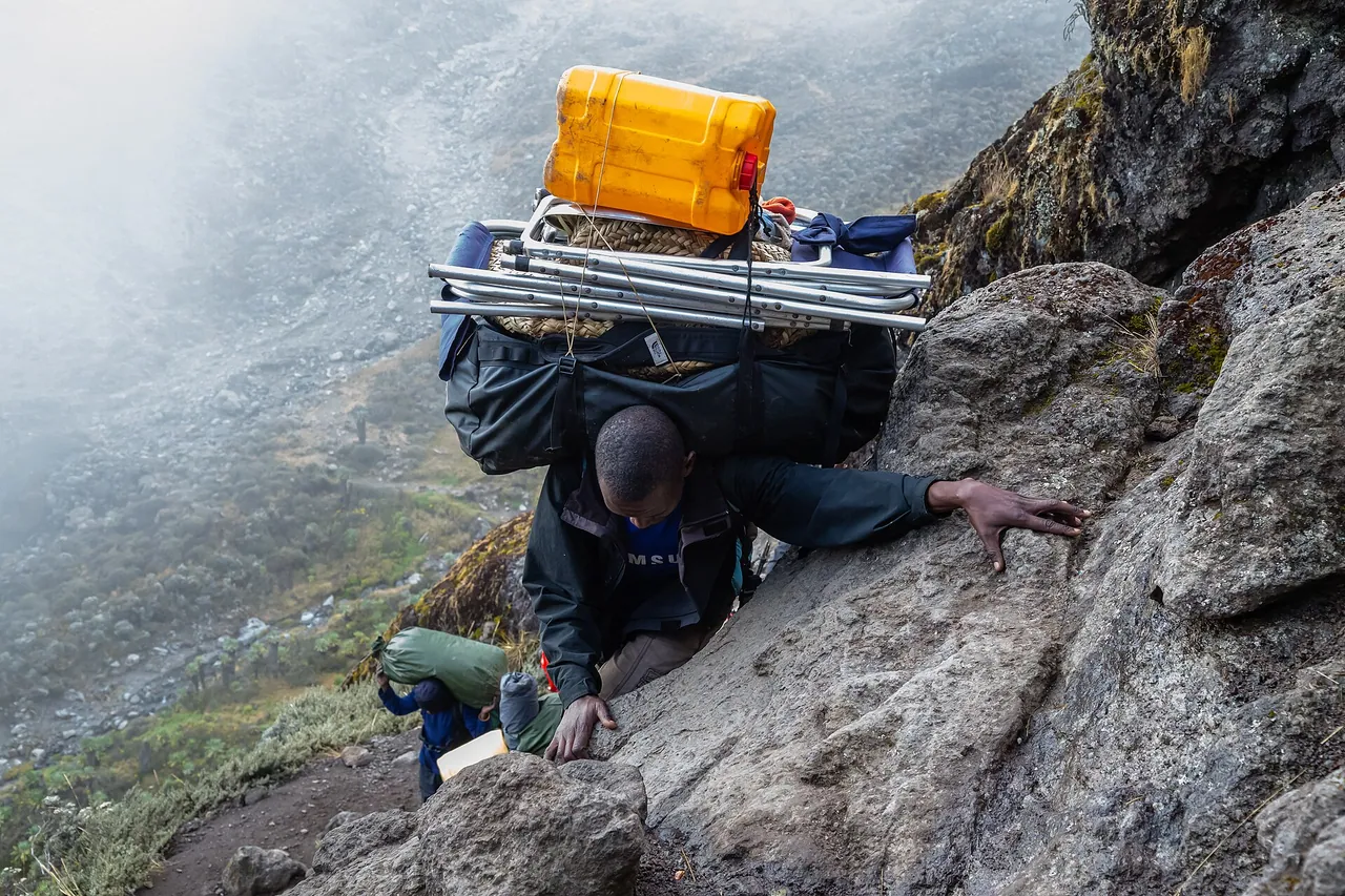
Porters carrying loads up the rocky Barranco WallSergei Andreichuk, CC BY-SA 4.0, tramite Wikimedia Commons
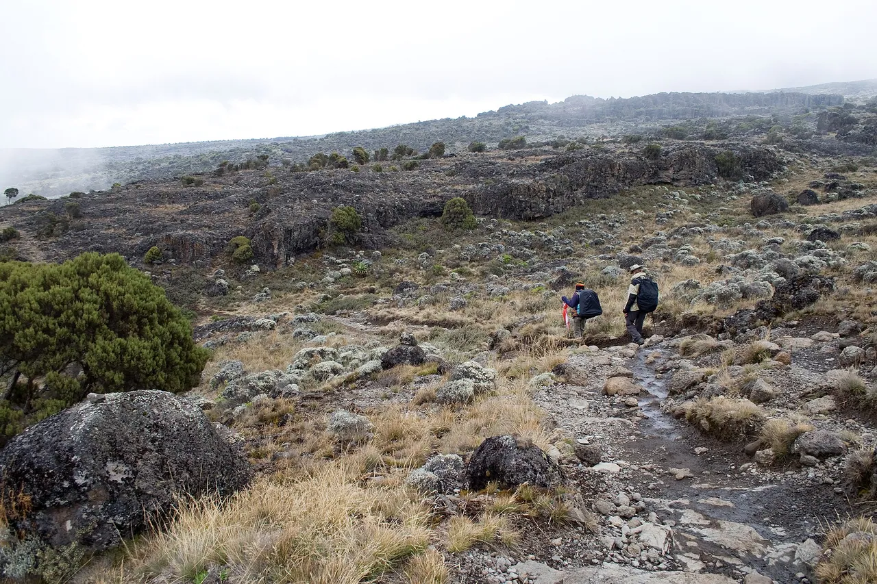
Rocky ground on the Shira Plateau with trekkers in the distanceStig Nygaard, CC BY 2.0, tramite Wikimedia Commons
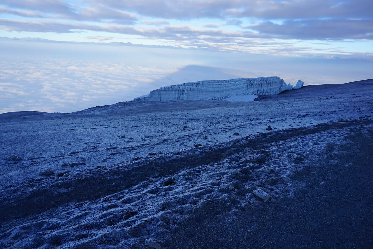
Snow and glaciers near the summit of Kilimanjaro at sunriseRoryjm0, CC BY-SA 4.0, tramite Wikimedia Commons
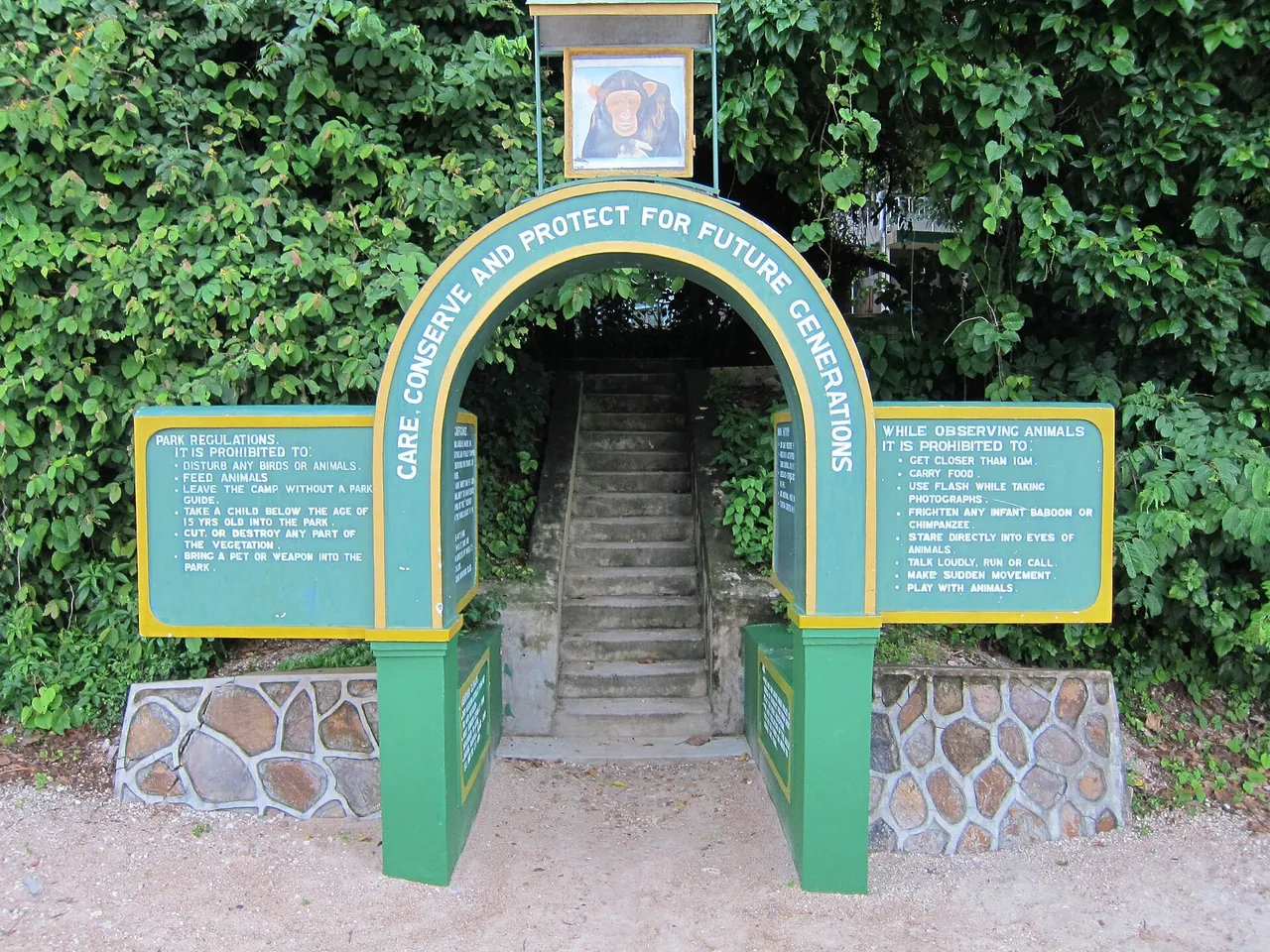
Stone steps leading under a green archway into the forest at the Gombe Stream National Park entrancefabulousfabs, CC BY 2.0, tramite Wikimedia Commons
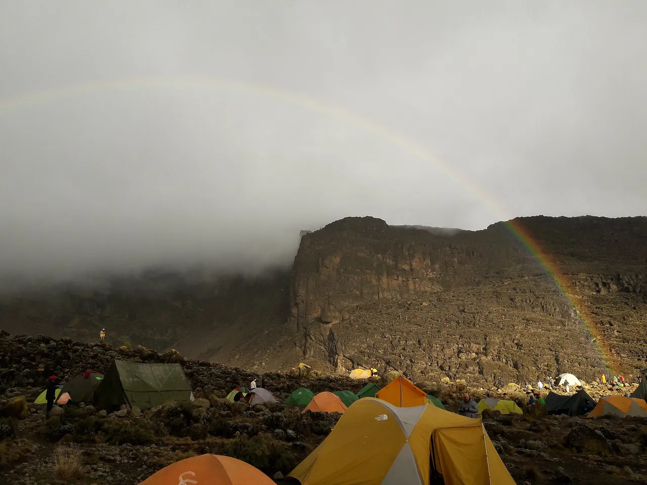
Tents in the misty Barranco valley with a faint rainbowKpokeJlJla, CC BY-SA 4.0, tramite Wikimedia Commons
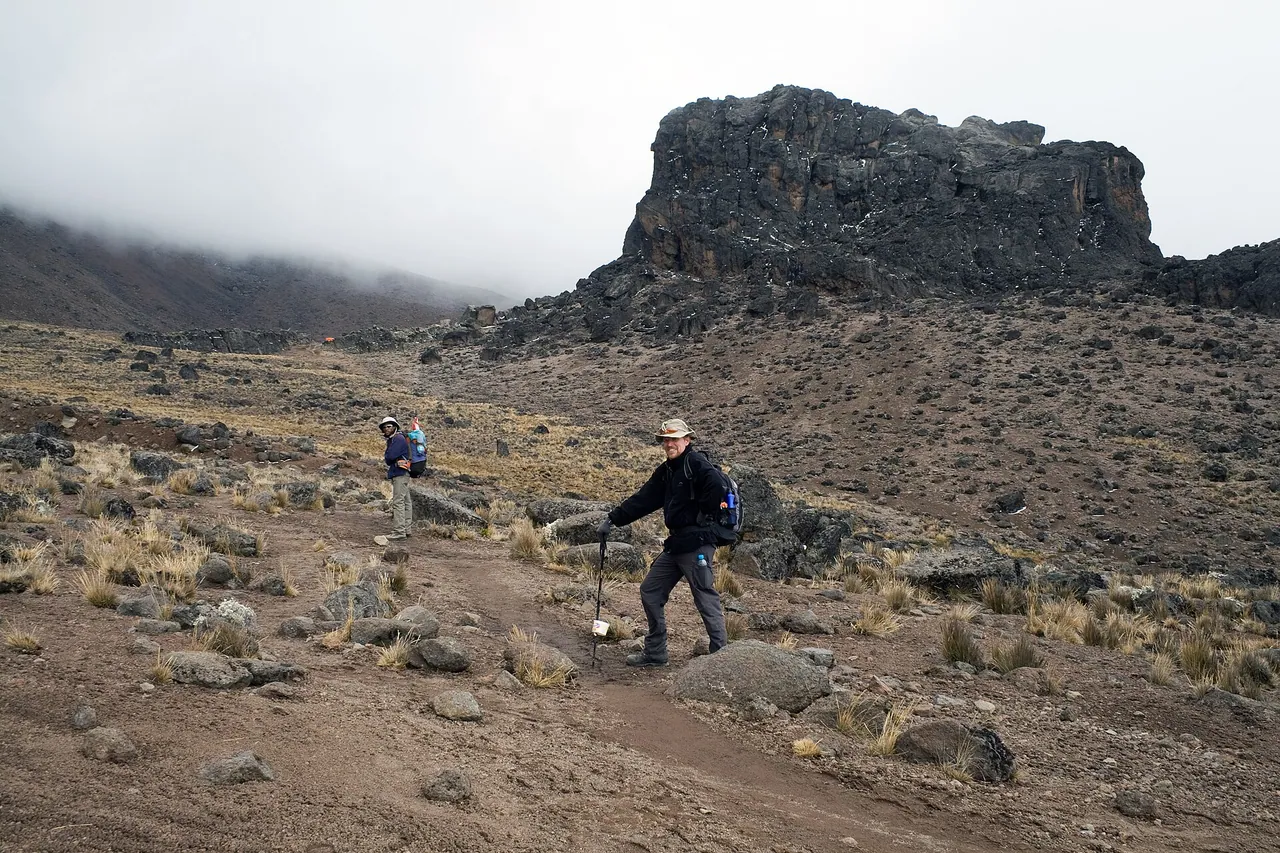
The Lava Tower rock formation rising on the Kilimanjaro trailStig Nygaard, CC BY 2.0, tramite Wikimedia Commons
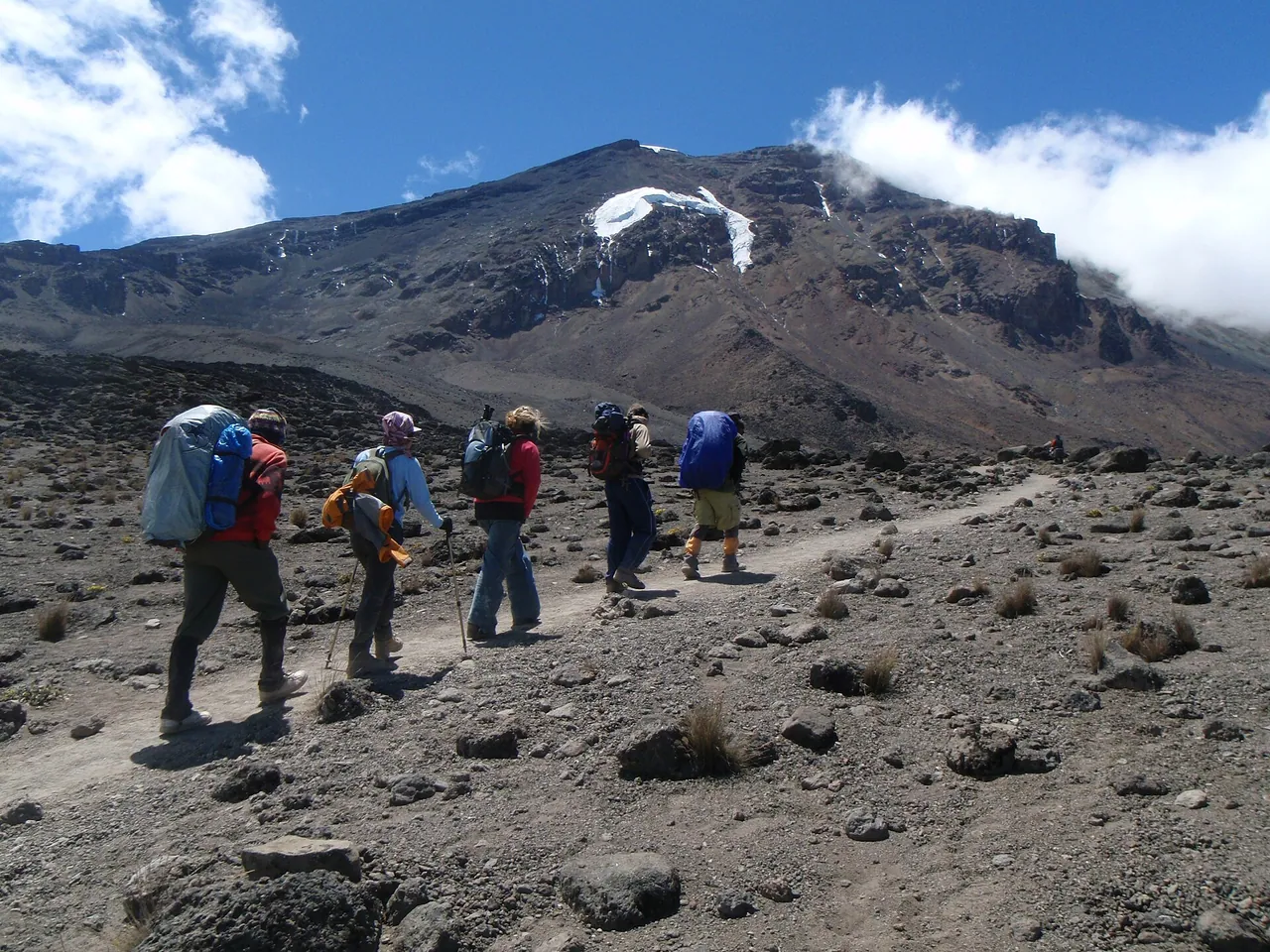
Trekkers and porters climbing toward the Lava Tower with the snowy summit behindMasa Sakano from Leicester, UK, CC BY-SA 2.0, tramite Wikimedia Commons
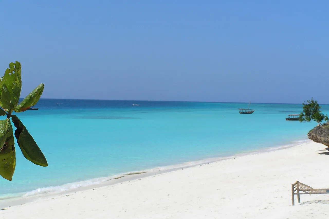
White sand and turquoise water on Nungwi beachJang Woo Lee, CC BY 3.0, tramite Wikimedia Commons
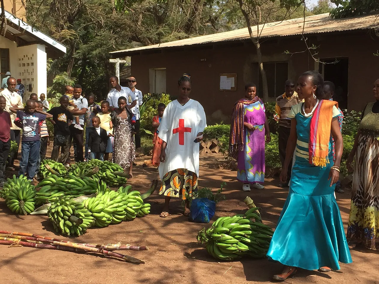
Women and children among piles of bananas at a market in Mto wa MbuMonstorm, CC BY-SA 4.0, tramite Wikimedia Commons
Le altre fotografie di questo sito sono utilizzate con autorizzazione o con licenze che non richiedono attribuzione.
Mappe
Dati cartografici
Confini regionali © collaboratori di OpenStreetMap. Legga la licenza di OpenStreetMap